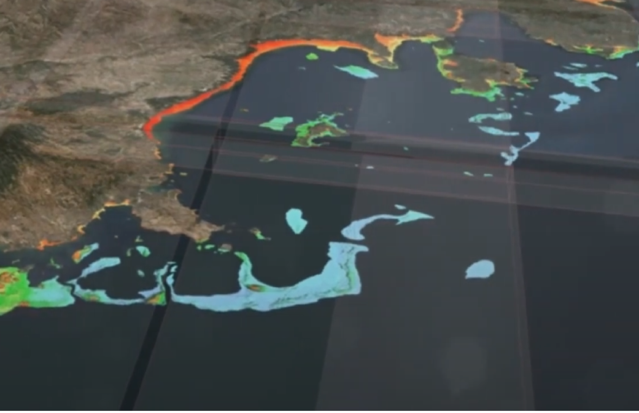
Satellite-Derived Bathymetry
Advanced bathymetric data extraction from satellite imagery,Cost-effective and extensive coverage for coastal and inland waters
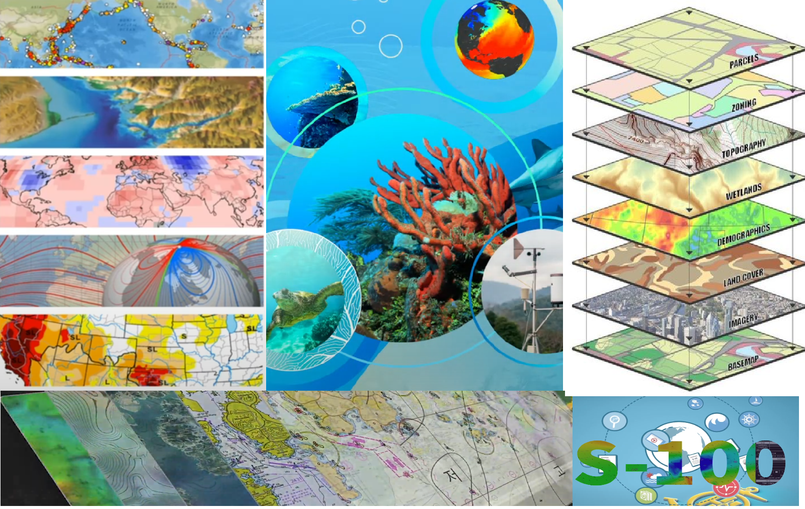
Mapping and GIS Solutions
High-resolution mapping services, Custom GIS solutions tailored to client needs
Geospatial Information Portals
Development and customization of geospatial information portals, User-friendly platforms for data visualization and analysis
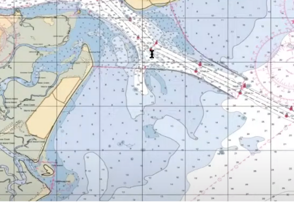
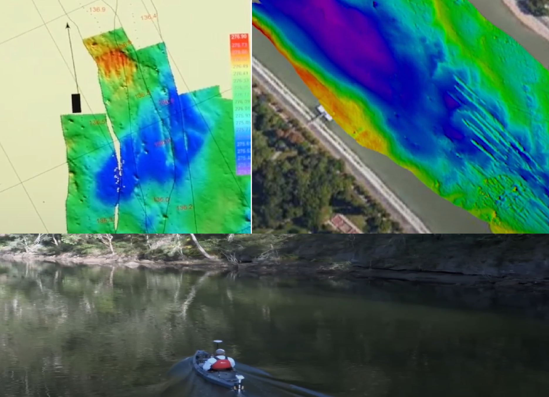
Hydrographic Surveying
Comprehensive hydrographic surveys, accurate and detailed bathymetric mapping
Inland Water Bodies Surveying
Detailed surveys of rivers, lakes, and reservoirs, Environmental monitoring and assessment
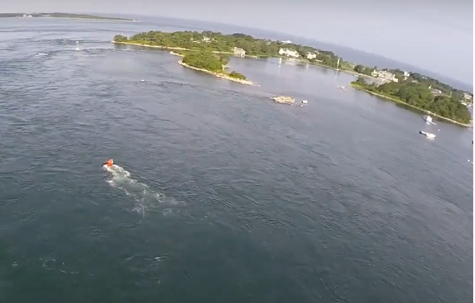
Shallow Water Surveys
Precision surveys in shallow water environments, Specialized techniques to ensure accurate data collection
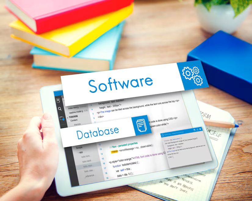
Software Solutions
Innovative software development for geospatial and hydrographic applications, Custom tools to enhance data management and usability